07014
07062
Study of the “Tripoli – VΙtina – Ancient Olympia” Road Axis. Section: “Louvro – Tripotamia – Ireas Int. and bypass of Staurodromi”
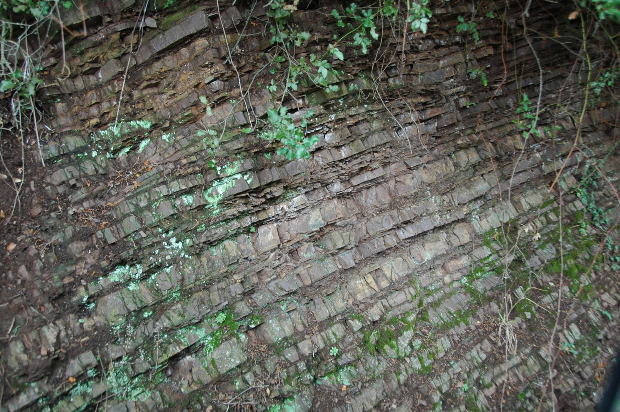
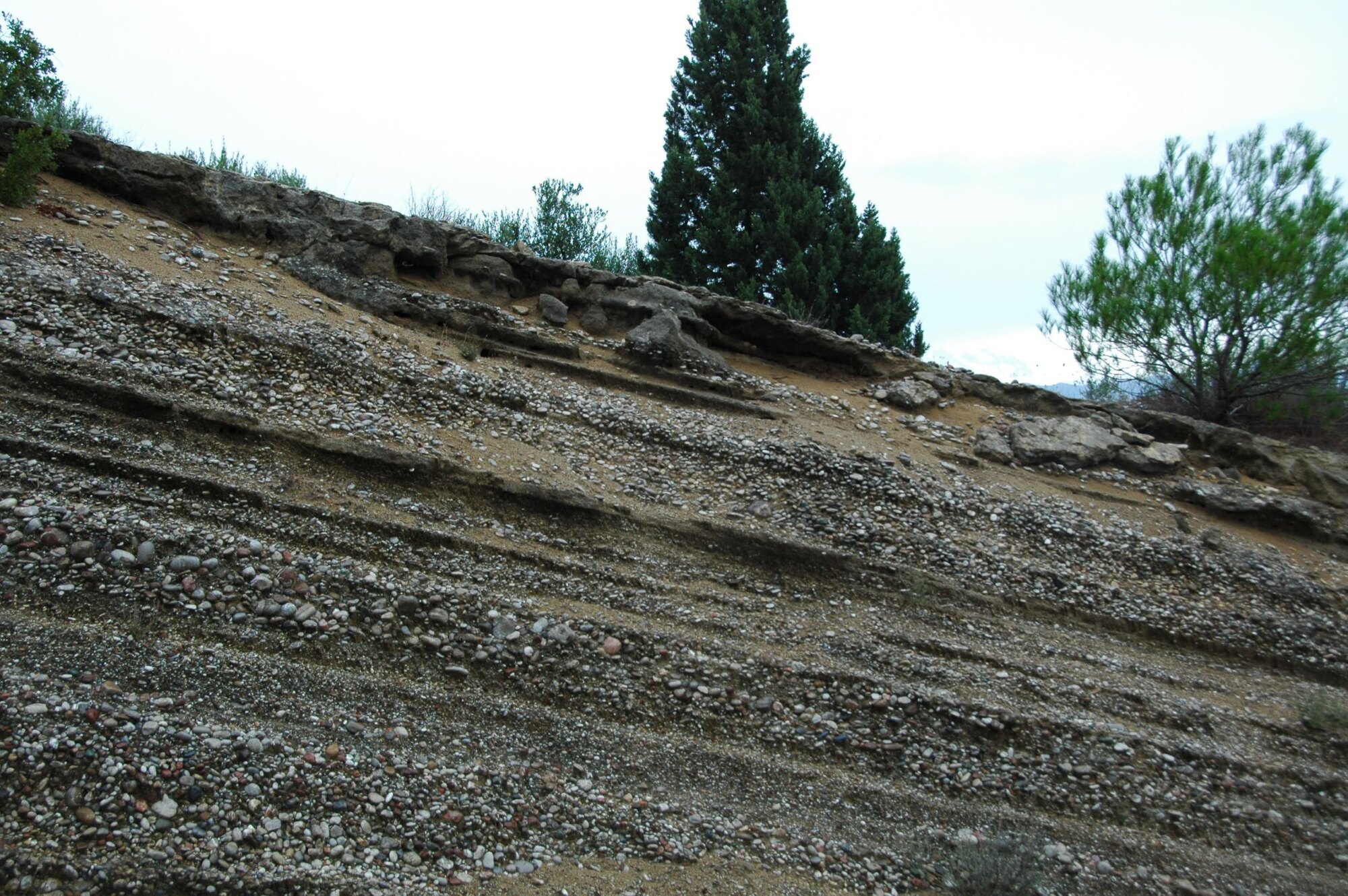
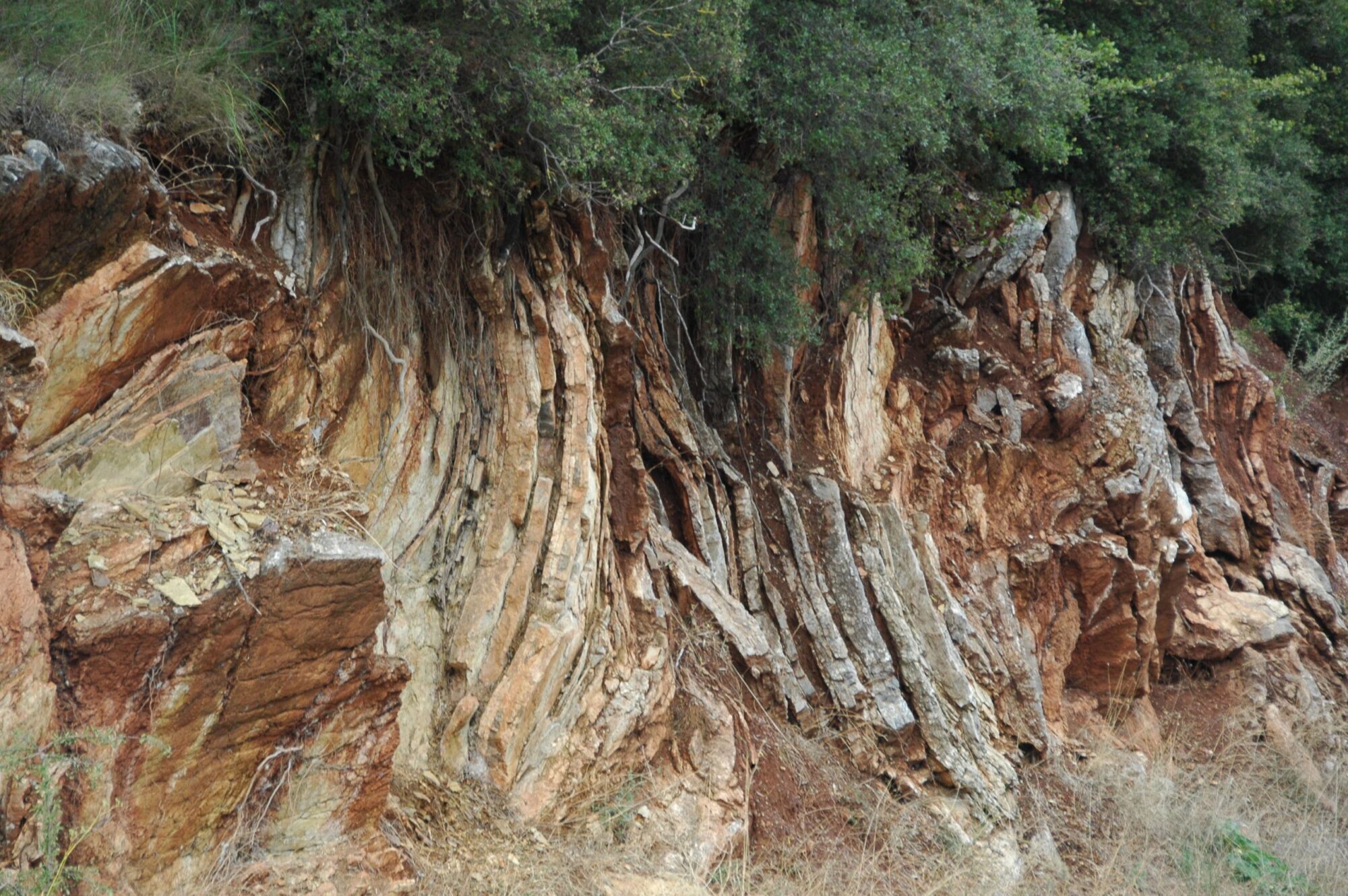
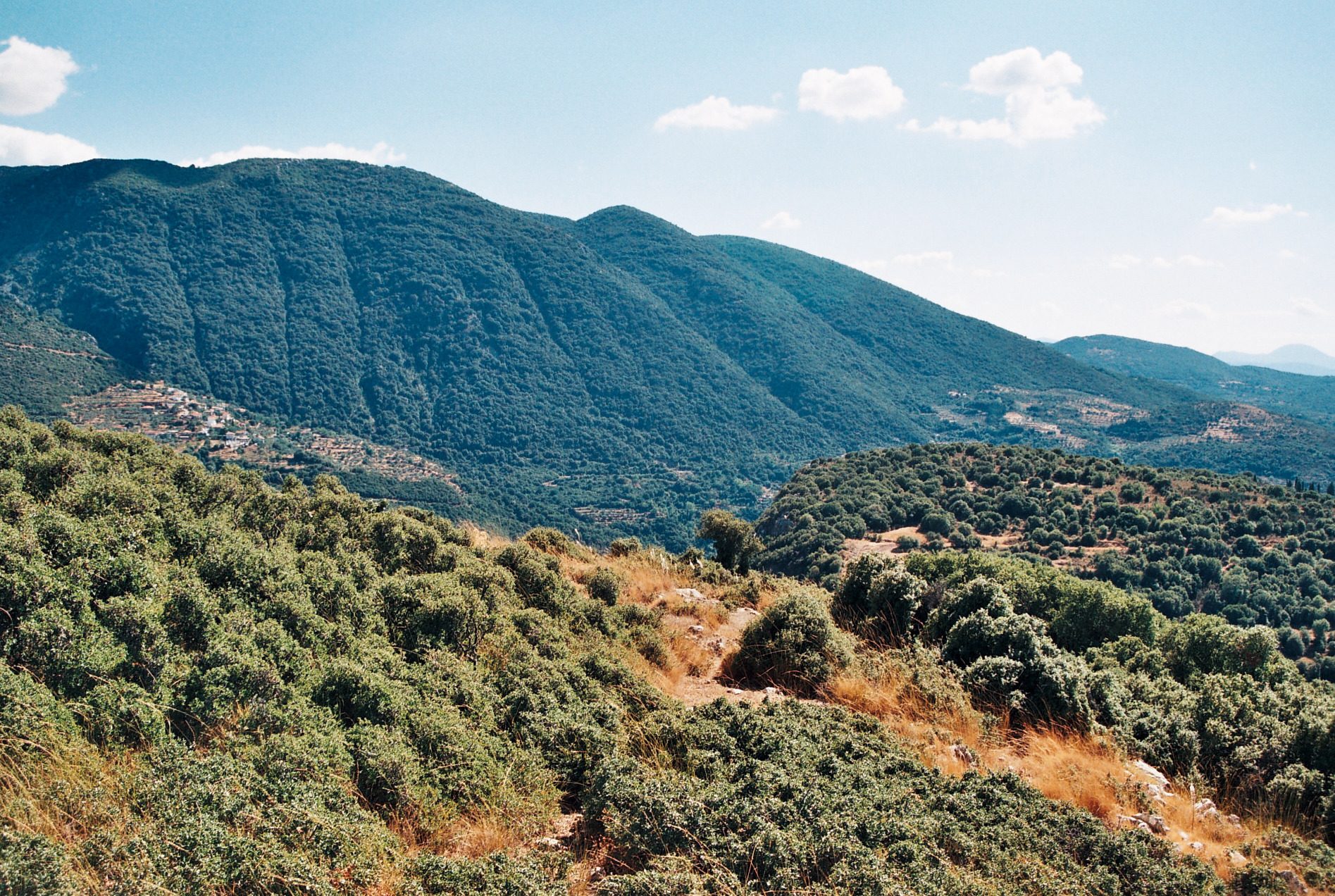
The geological study focused on the assessment of alternative road alignment options, with the aim of providing the necessary geological information to support the comparative evaluation of the proposed alignments and the selection of the most suitable solution from an engineering geological perspective. For each alternative, the lithology, tectonic setting and geological structure, hydrogeological conditions, as well as the quality and engineering behaviour of the geological formations were assessed. The study also identified the problematic sections of each alignment and evaluated the anticipated geological and engineering geological issues in relation to the proposed works.
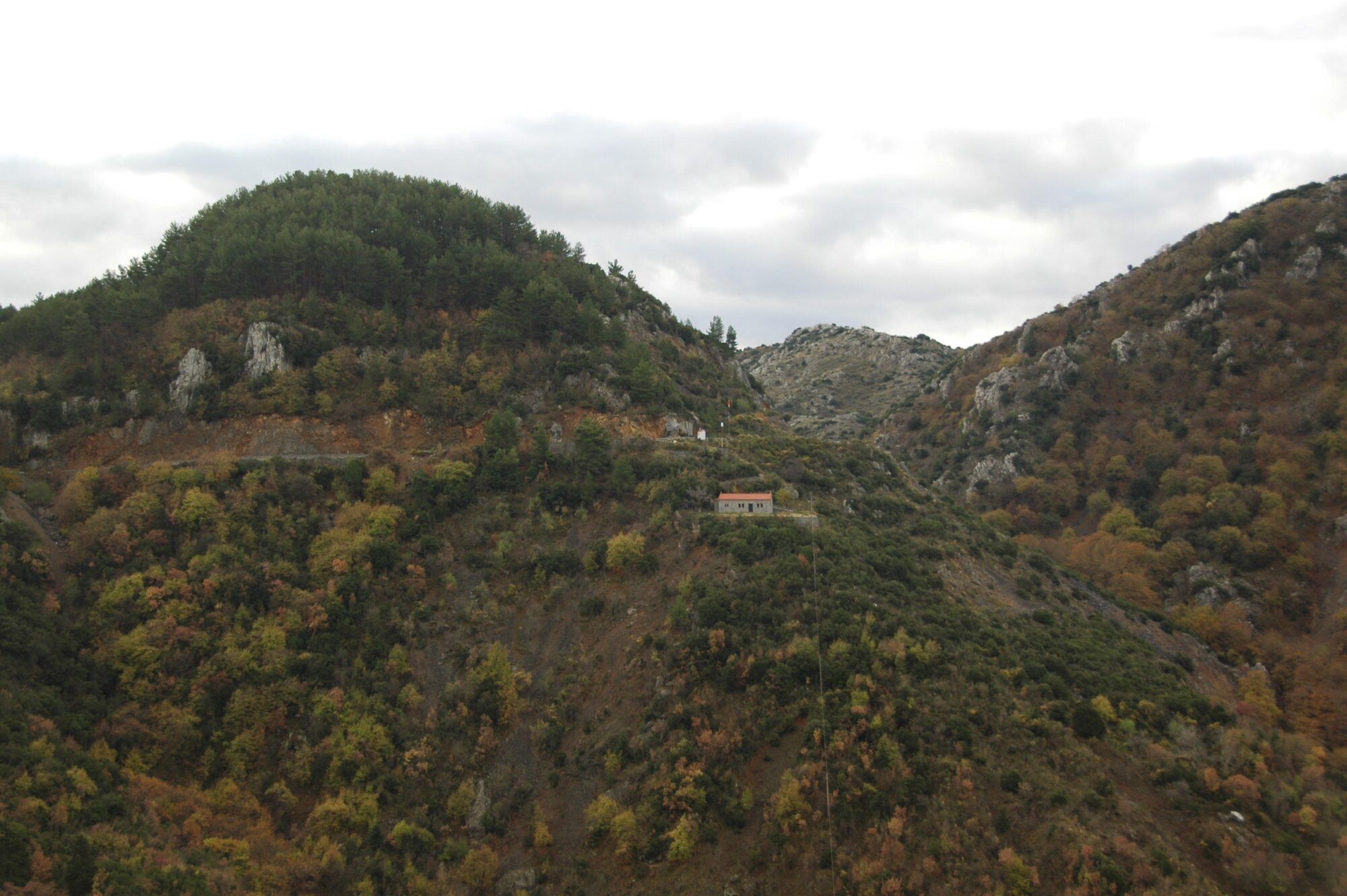
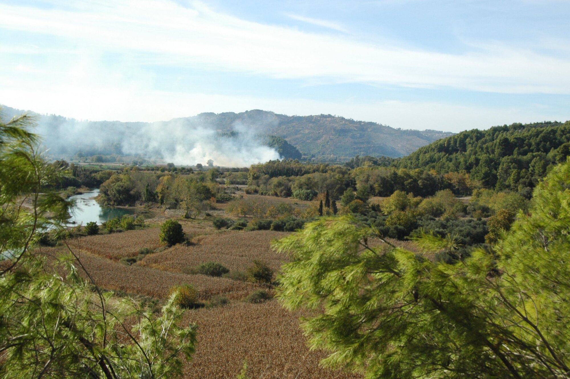
As part of the reconnaissance geological study for the Stavrodromi bypass, geological mapping was carried out at a scale of 1:5,000 over an area of approximately 1.5 km², covering a zone of approximately 800 m on either side of the alignment. Geological longitudinal profiles were prepared for the three proposed alignments, with a combined length of approximately 4.2 km, together with an engineering geological map and a geological hazard map. The study also included an inventory of water occurrence points, groundwater level measurements, assessment of the engineering geological and hydrogeological behaviour of the geological formations, investigation of potential borrow areas, and identification of problematic areas. The results were used for the comparative assessment of the alternative solutions and the selection of the most appropriate alignment from an engineering geological perspective.
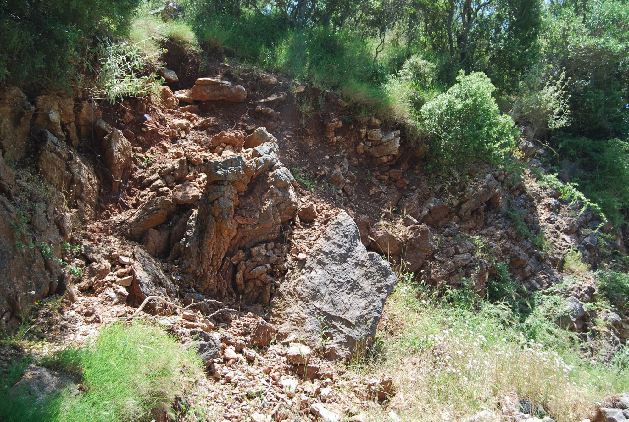
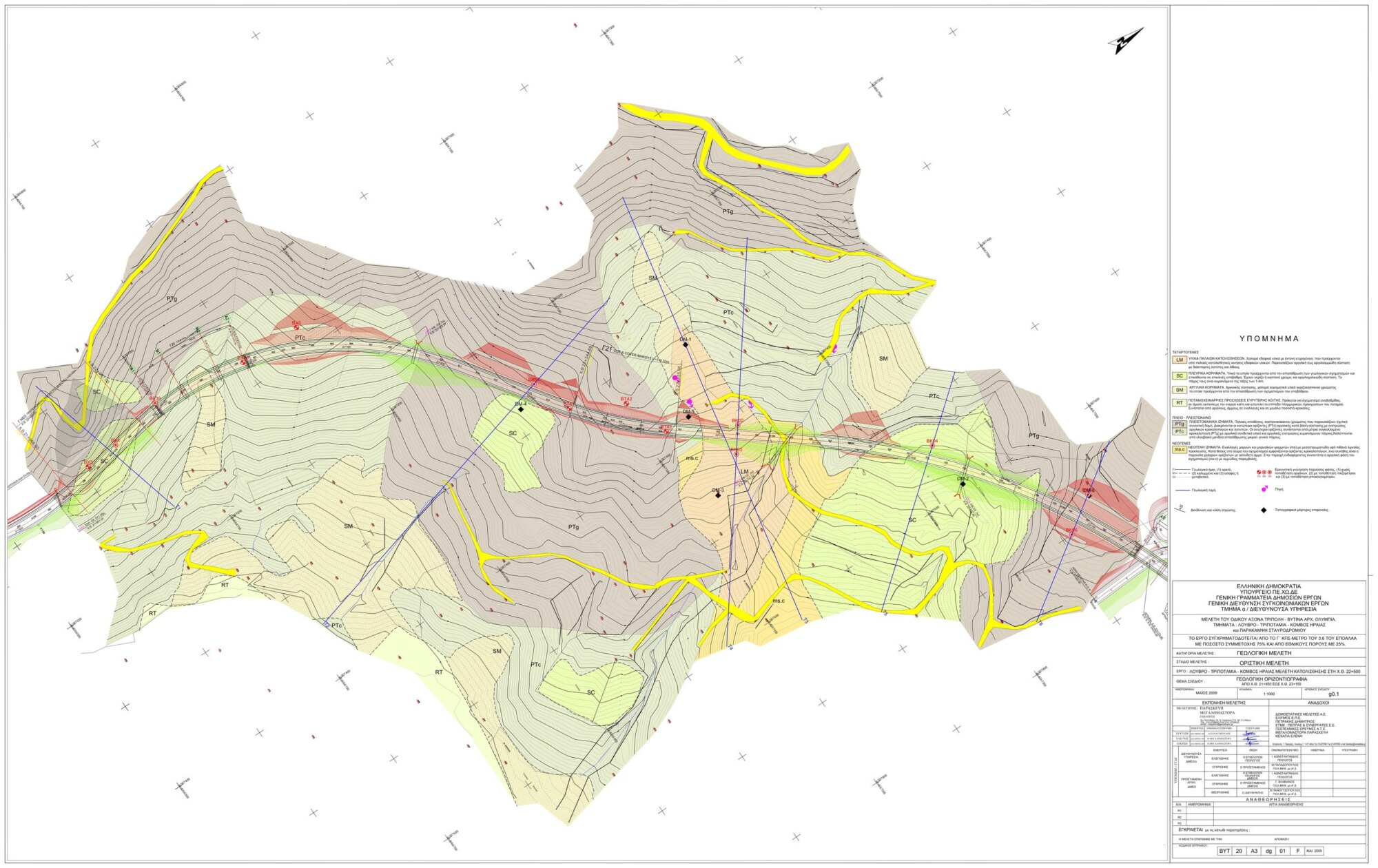
For the final geological study of the Louvro–Tripotamia–Iraia Junction section, detailed geological mapping was carried out at a scale of 1:1,000 along approximately 16 km of road. The study included the preparation of a geological longitudinal profile and geological cross-sections, tectonic diagrams, assessment of potential landslides and rock mass classifications. In addition, water occurrence points were inventoried, groundwater levels were measured, and the investigation boreholes and engineering geological problems identified along the alignment were assessed.
The study also included recommendations for the additional geological and geotechnical investigations and works required during subsequent stages of the project.